Lake Sakakawea
The Reservoirs · Lake 2 of 6 · RM 1,392–1,578

Lake Sakakawea

The biggest of the six — 178 miles of drowned river named for a Hidatsa-adopted woman whose homeland lies beneath it.

The lake today
Pool ft msl
Ft below full
186
Pool miles
RM 1,392
to 1,578
Next 48 hours

Wind windows.

Calm <15 mph · Caution 15–25 · Hazardous 25+ sustained — tap any hour for detail
Wind alerts for this lake Plan a crossing
Access — ramps & recreation areas All on the map →
SiteRiver mileStateType
Upper Missouri River1,559.8NDboat ramp
Lake Sakakawea1,547.6NDboat ramp
Lake Sakakawea1,524.0NDboat ramp
Lake Sakakawea1,519.4NDboat ramp
Lake Sakakawea1,518.0NDboat ramp
Lake Sakakawea1,506.4NDboat ramp
Lake Sakakawea1,506.1NDboat ramp
Lake Sakakawea1,499.8NDboat ramp
Lake Sakakawea1,487.4NDboat ramp
Lake Sakakawea1,486.1NDboat ramp
Lake Sakakawea1,485.6NDboat ramp
Lake Sakakawea1,462.6NDboat ramp
Lake Sakakawea1,462.5NDboat ramp
Lake Sakakawea1,458.7NDboat ramp
Lake Sakakawea1,458.3NDboat ramp
Lake Sakakawea1,457.6NDboat ramp
Lake Sakakawea1,456.6NDboat ramp
Lake Sakakawea1,449.0NDboat ramp
Lake Sakakawea1,445.2NDboat ramp
Lake Sakakawea1,442.1NDboat ramp
Lake Sakakawea1,433.9NDboat ramp
Lake Sakakawea1,423.0NDboat ramp
Lake Sakakawea1,417.1NDboat ramp
Lake Sakakawea1,416.1NDboat ramp
Lake Sakakawea1,408.7NDboat ramp
Lake Sakakawea1,407.8NDboat ramp
Lake Sakakawea1,405.8NDboat ramp
Lake Sakakawea1,404.1NDboat ramp
Depths

Depths, at today's pool.

Sakakawea is the one mainstem reservoir with public survey bathymetry (ND Game & Fish, 2022–23). On the map its depth contours are adjusted to today's pool — depths shrink as the pool drops, and contours above the waterline disappear.

051020406080+ ft
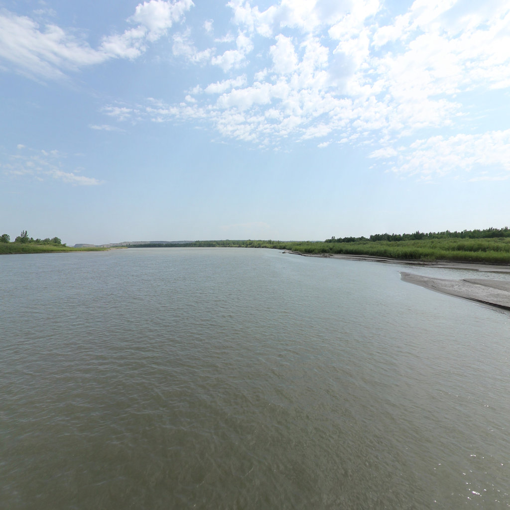
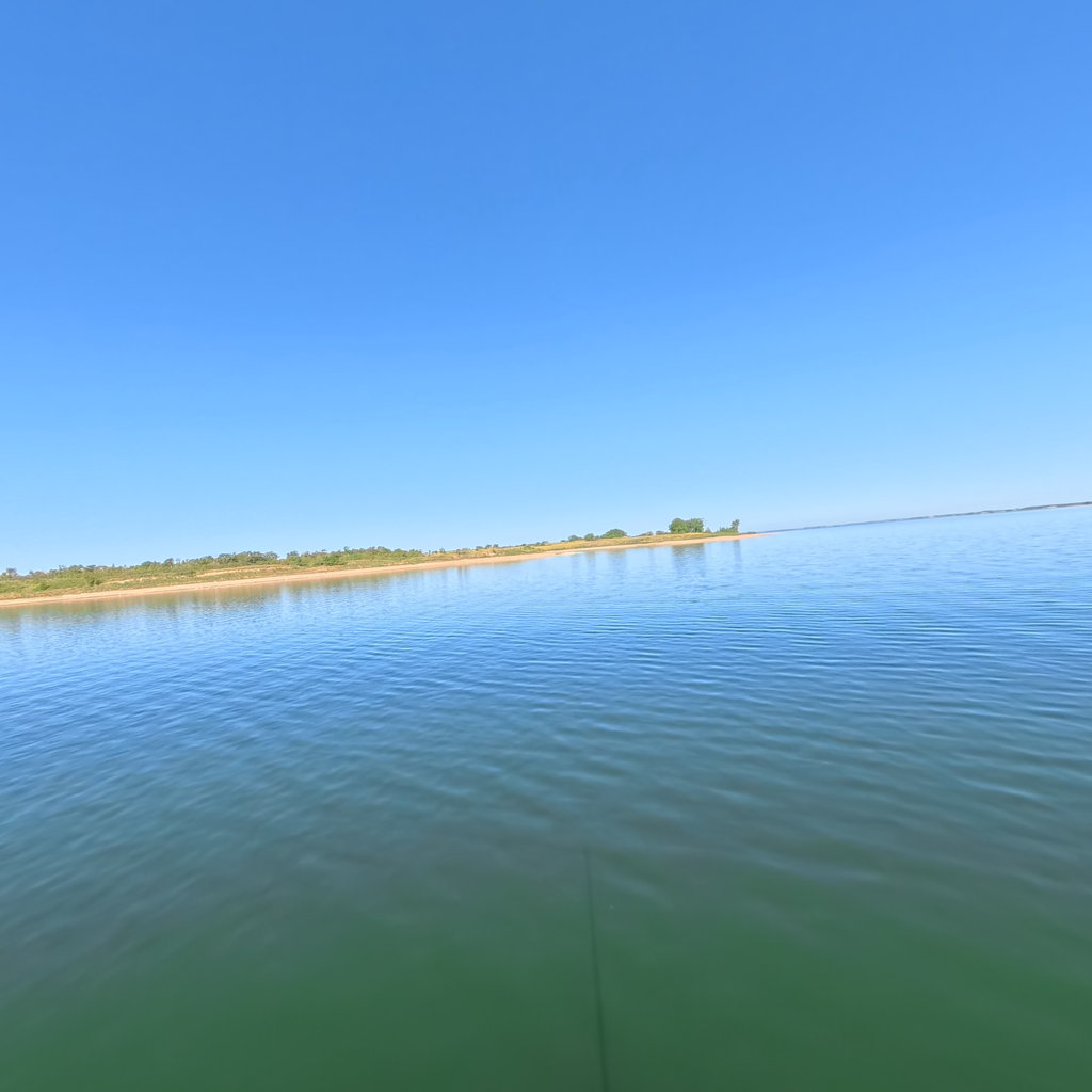
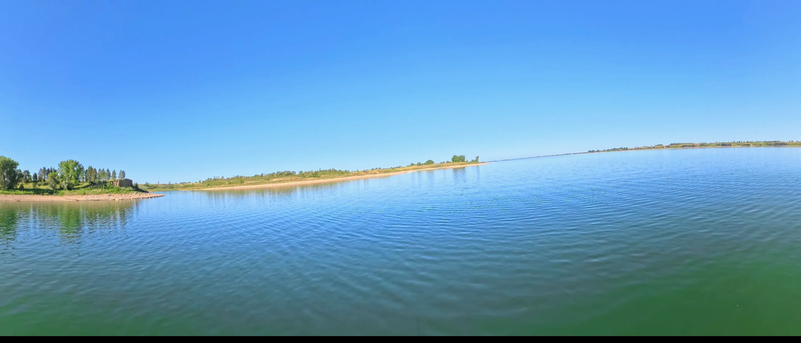
Lake Sakakawea in 360° 360° This lake in 360° — 3,147 scenes · RM 1,557 →
What this water covers

The history under the lake.

Garrison Dam closed in 1953 and the rising pool destroyed the heart of the Fort Berthold Reservation: 152,000 acres of timbered bottomland, the towns of Elbowoods and Sanish, and the farms that had made the Mandan, Hidatsa, and Arikara nearly self-sufficient. Roughly eighty percent of tribal membership was forced to relocate to the windswept uplands. The famous photograph of tribal chairman George Gillette weeping as the taking was signed in Washington says what the engineering reports do not.

The reservoir was named for Sakakawea, the young woman taken from the Knife River villages who walked to the Pacific with Lewis and Clark. The confluence country where the Little Missouri met the big river — homeland, garden, and gathering place — is under the bay that now carries its name. Paddling here means holding both truths: a magnificent inland sea, and the price at which it was made.

In 360°

This lake in 360°.

Terrain360 has captured roughly two-thirds of the mainstem in full 360° imagery. Tap any card to float that stretch in the viewer.