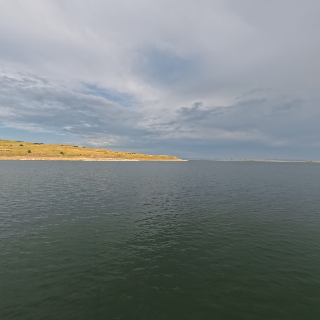
Lake Oahe
The Reservoirs · Lake 3 of 6 · RM 1,072–1,312

Lake Oahe

231 miles from Bismarck to Pierre — the longest of the six pools, over the drowned bottomlands of the Standing Rock and Cheyenne River nations.

The lake today
Pool ft msl
Ft below full
240
Pool miles
RM 1,072
to 1,312
Next 48 hours

Wind windows.

Calm <15 mph · Caution 15–25 · Hazardous 25+ sustained — tap any hour for detail
Wind alerts for this lake Plan a crossing
Access — ramps & recreation areas All on the map →
SiteRiver mileStateType
Missouri River1,304.6NDboat ramp
Missouri River1,299.0NDboat ramp
Lake Oahe1,294.4NDboat ramp
Lake Oahe1,279.6NDboat ramp
Lake Oahe1,277.1NDboat ramp
Lake Oahe1,260.2NDboat ramp
Lake Oahe1,258.0NDboat ramp
Lake Oahe1,257.7NDboat ramp
Lake Oahe1,247.3NDboat ramp
Lake Oahe1,246.2NDboat ramp
Lake Oahe1,236.1NDboat ramp
Pocasse Public Water Access1,226.1SDboat ramp
West Pollock Recreation Area - Main1,226.1SDboat ramp
West Pollock Recreation Area - North1,226.1SDboat ramp
West Pollock Recreation Area - South1,226.1SDboat ramp
Shaw Creek Land Use Area1,221.1SDboat ramp
Indian Memorial Recreation Area1,200.0SDboat ramp
The Bay1,199.8SDboat ramp
Indian Creek Recreation Area - West1,193.0SDboat ramp
Indian Creek Recreation Area - East1,192.4SDboat ramp
Thomas Bay Land Use Area1,186.9SDboat ramp
Walth Bay Land Use Area1,183.5SDboat ramp
Swan Creek Recreation Area - West1,179.0SDboat ramp
Swan Creek Recreation Area - East1,173.1SDboat ramp
Dodge Draw Land Use Area1,165.4SDboat ramp
West Whitlock Recreation Area1,154.2SDboat ramp
East Whitlock Land Use Area - North1,154.0SDboat ramp
East Whitlock Land Use Area - South1,154.0SDboat ramp
Hurley Public Water Access1,153.6SDboat ramp
South Whitlock Public Water Access1,153.6SDboat ramp
Bob's Landing Land Use Area1,152.3SDboat ramp
Forest City Public Water Access1,151.5SDboat ramp
Bush's Landing Land Use Area1,126.1SDboat ramp
Little Bend Land Use Area1,107.2SDboat ramp
Little Bend Land Use Area (Low Water)1,106.2SDboat ramp
Pike Haven1,103.6SDboat ramp
Garrigan's Landing Public Water Access1,089.3SDboat ramp
Garrigan's Landing Public Water Access (Low Water)1,089.3SDboat ramp
Okobojo Point Recreation Area1,089.3SDboat ramp
Peoria Floats Land Use Area1,078.2SDboat ramp
Depths

Depths, at today's pool.

This lake IS mapped — marine-chart apps carry contours today. We're sourcing an open layer for all six pools (USACE Omaha surveys · state wildlife agencies · USGS ScienceBase). Depths will render against today's pool, not the full-pool number printed on fishing maps.

051020406080+ ft
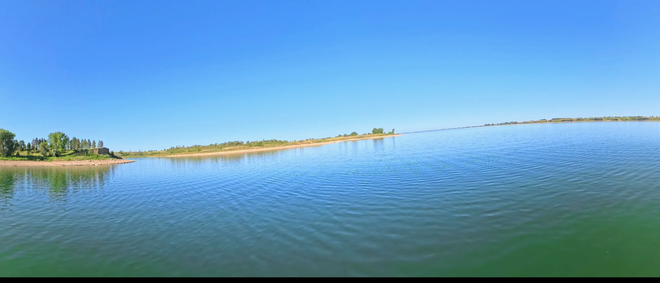
Lake Oahe in 360° 360° This lake in 360° — 276 scenes · RM 1,151 →
What this water covers

The history under the lake.

Oahe Dam, dedicated in 1962, flooded more Native land than any other single public works project in American history: some 160,000 acres of Standing Rock and Cheyenne River bottomland — the timber, game, and shelter that anchored Lakota life through a century of confinement. Families were moved to treeless agency towns on the plains above; the Missouri's sheltering valley simply ceased to exist for them.

The name comes from the Oahe Mission among the Lakota, and the lake now defines the western boundary of both reservations. The 2016-17 water protector gathering at Standing Rock, just below the dam, is the latest chapter of a much older argument about this stretch of river — who bears the costs of what gets built on it, and who is asked for consent.

In 360°

This lake in 360°.

Terrain360 has captured roughly two-thirds of the mainstem in full 360° imagery. Tap any card to float that stretch in the viewer.