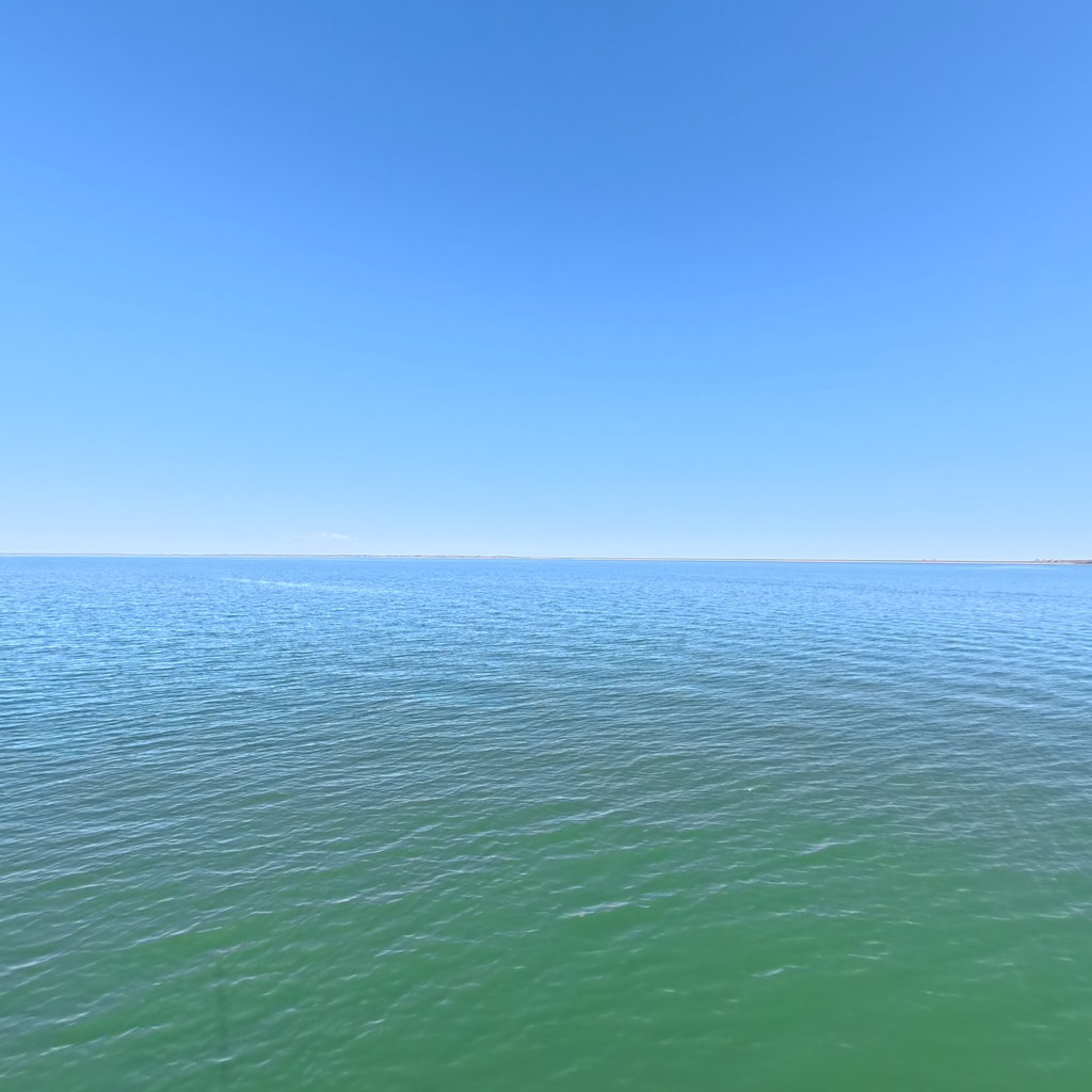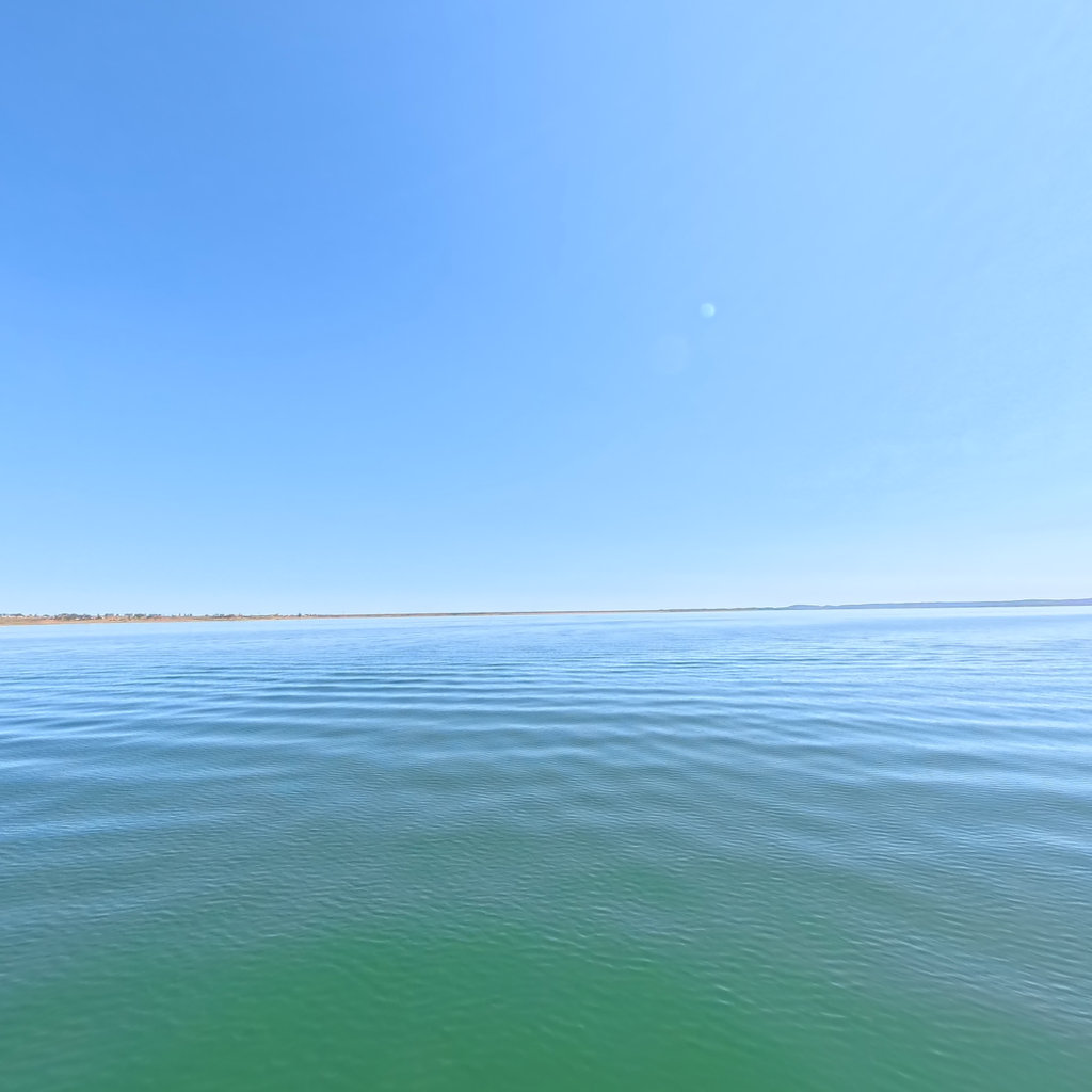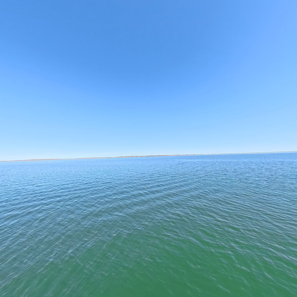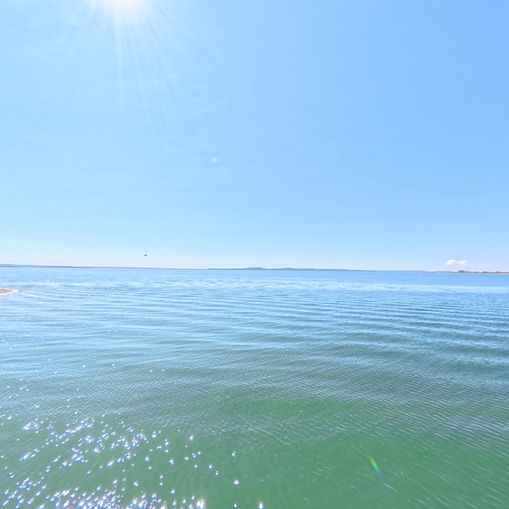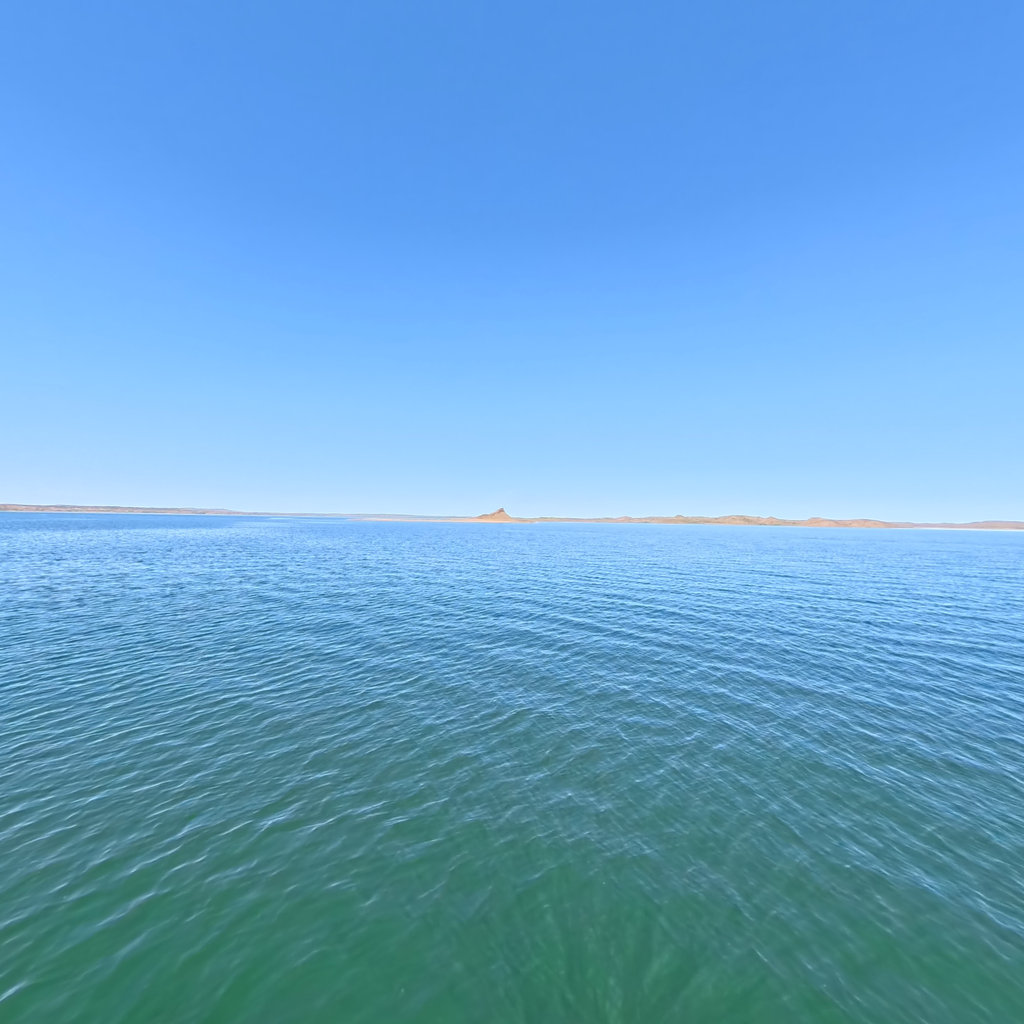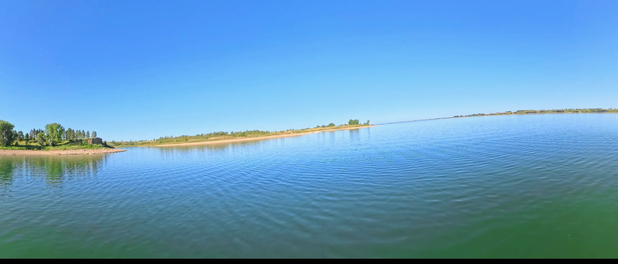
A 134-mile inland sea behind a New Deal dam, ringed by the Charles M. Russell National Wildlife Refuge — the emptiest big water in Montana.
This lake IS mapped — marine-chart apps carry contours today. We're sourcing an open layer for all six pools (USACE Omaha surveys · state wildlife agencies · USGS ScienceBase). Depths will render against today's pool, not the full-pool number printed on fishing maps.
360°
This lake in 360° — 213 scenes · RM 1,774 →
Fort Peck Dam was the first of the mainstem giants — a Depression-era public works colossus begun in 1933 that employed more than 10,000 people and, at its closure in 1937, formed what was then the largest hydraulically-filled dam on earth. The workers' shantytowns, the 1938 slide that killed eight men, and the dam's appearance on the first cover of Life magazine are all part of Montana lore.
The lake drowned the Missouri's cottonwood bottoms for 134 miles, country the Assiniboine and Sioux of Fort Peck had ceded under pressure decades earlier; the reservation that carries the same name lies just downstream. Today nearly the entire shoreline sits inside the Charles M. Russell National Wildlife Refuge — a million acres of breaks and prairie that makes Fort Peck the wildest of the six reservoirs.
Terrain360 has captured roughly two-thirds of the mainstem in full 360° imagery. Tap any card to float that stretch in the viewer.