Missouri National Recreational River - 59-Mile District
National Recreational River · Reach 2 of 2 · RM 810–757

Missouri National Recreational River - 59-Mile District

59 miles of free-flowing Missouri River from Gavins Point Dam to Ponca, NE. The most popular paddling section of the Missouri National Recreational River. 2.5–5 mph typical current.

The river today
 
7-day trend · prime window runs 20,000–40,000 CFS
Quick float Estimate Full planner with wind, camps & day-by-day →
Mile by mile

Gavins Point Dam → Ponca State Park, NE.

Open this reach on the map →
MileUSACE RMSiteTypeNotes
0.9809Gavins Point Dam TailwatersACCESSSD
5.7804Yankton, SDTOWN
26.6784Hot or Burning BluffsBRACKENRIDGE
30.9779Spirit MoundHISTORY
31.3779Vermilion CreekBRACKENRIDGE
34.7776Maxude waa i te - Omaha Place (Aowa Creek)LEWIS
51.0759Kimball Village - Missouri River IowaLEWIS
753.057Ponca State ParkRAMP
763.047Mulberry BendRAMP
772.038VermillionRAMP
793.017Myron GroveRAMP
805.05Yankton Riverside ParkRAMP
811.0-1Gavins Point DamRAMP
Know before you go

Permits & the float window.

Best season is May - October, peaking June - September. Plan 2-3 days for the full 59 miles at 20-30 miles a day.

  • Shifting sandbars and braided channels
  • Wind exposure on wide river
  • Cold water from dam releases
  • Strong currents near Gavins Point Dam
  • Occasional motorboat traffic
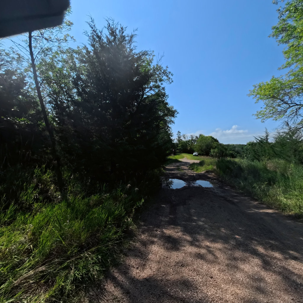
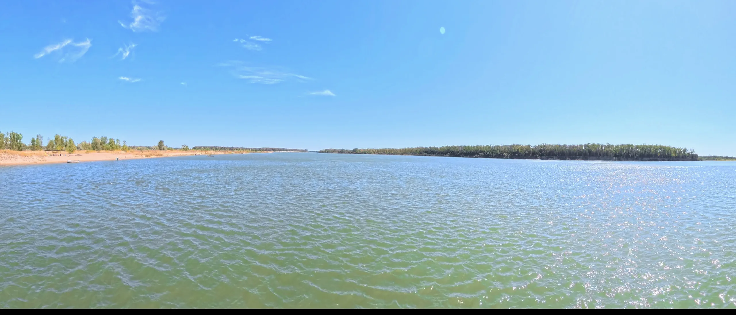
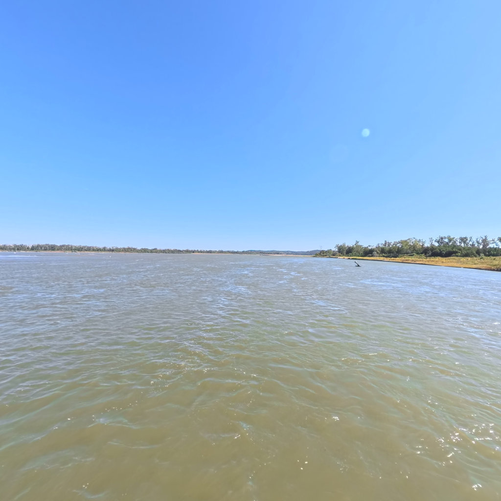
360° scene 360° · RM 778 360° scene 360° · RM 768
Scenes from this stretch and its neighbors. Coverage map →
In 360°

Float this reach in 360°.

Terrain360 has captured roughly two-thirds of the mainstem in full 360° imagery. Tap any card to float that stretch in the viewer.