Missouri National Recreational River - 39-Mile District
National Recreational River · Reach 1 of 2 · RM 880–853

Missouri National Recreational River - 39-Mile District

39 miles of free-flowing Missouri River from Fort Randall Dam to Running Water, SD. One of the last unchannelized stretches of the lower Missouri. 2.5–5 mph typical current.

The river today
 
7-day trend · prime window runs 18,000–35,000 CFS
Quick float Estimate Full planner with wind, camps & day-by-day →
Mile by mile

Fort Randall Dam → Running Water, SD.

Open this reach on the map →
MileUSACE RMSiteTypeNotes
0.7880Fort Randall Dam / Randall CreekACCESSSD
4.1876Little Cedar IslandBRACKENRIDGE
10.3870Black-tailed Prairie Dog Discovery SiteLEWIS
841.039Running WaterRAMP
865.015GreenwoodRAMP
880.00Fort Randall Dam SpillwayRAMP
Know before you go

Permits & the float window.

Best season is May - October, peaking June - September. Plan 1-2 days for the full 39 miles at 19-39 miles a day.

  • Dam release fluctuations - check Fort Randall Dam discharge schedule
  • Braided channels - choose main channel to avoid stranding
  • Shifting sandbars
  • Wind exposure
  • Cold water year-round from dam releases
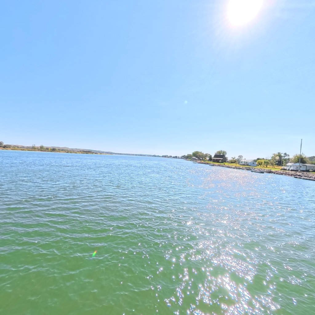
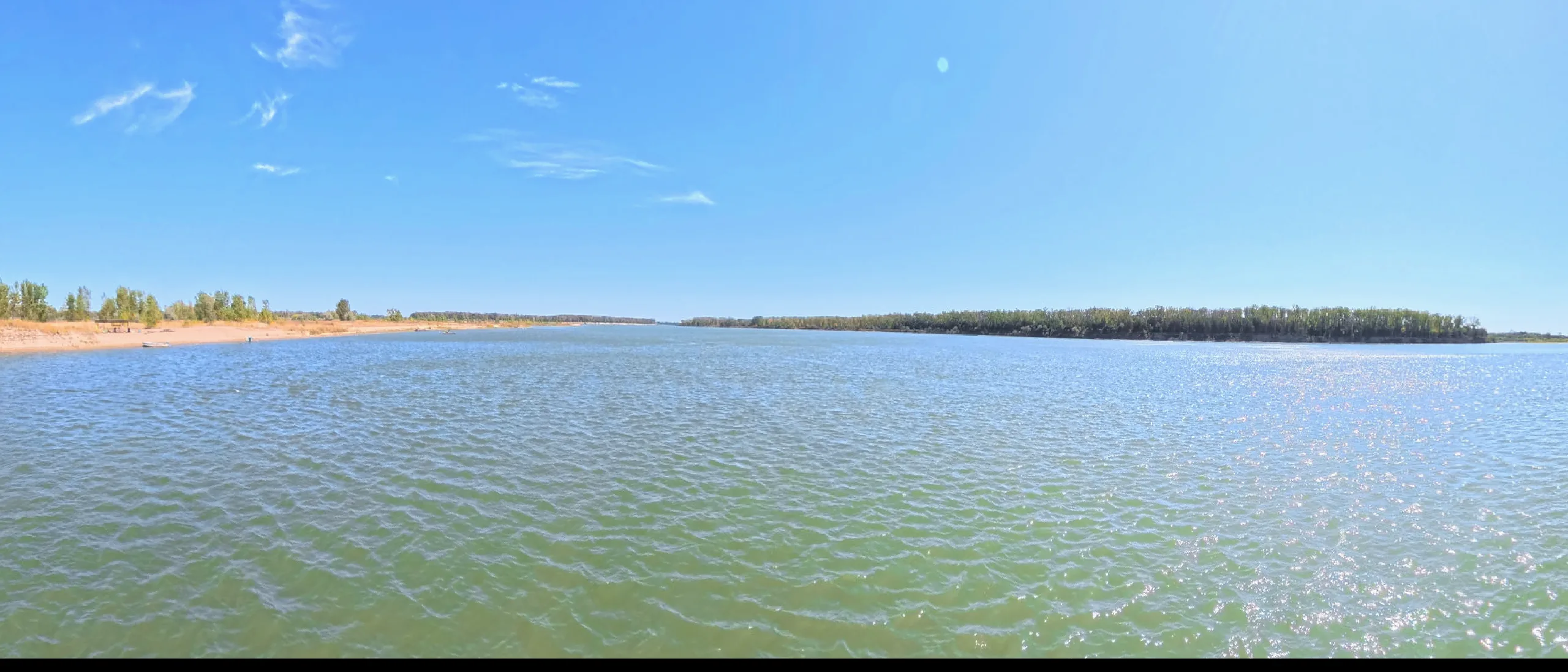
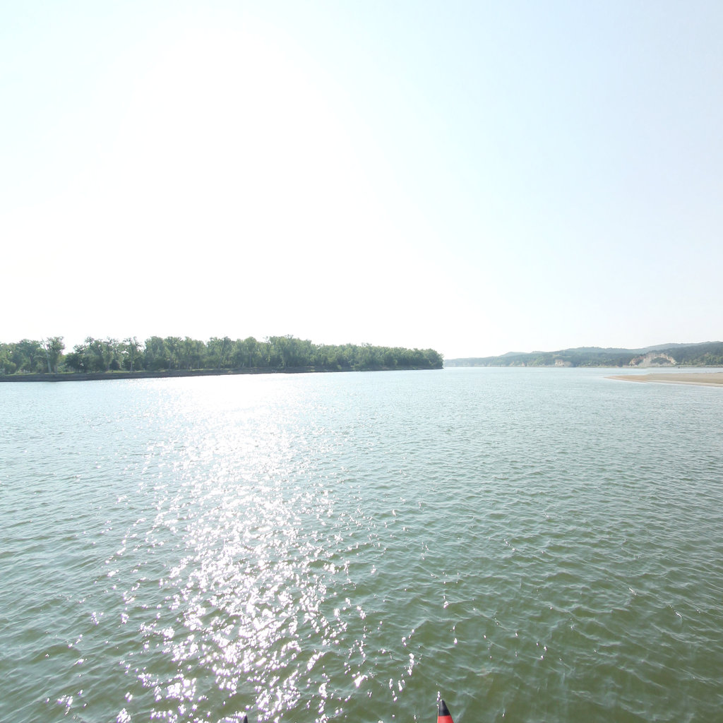
360° scene 360° · RM 868 360° scene 360° · RM 856
Scenes from this stretch and its neighbors. Coverage map →
In 360°

Float this reach in 360°.

Terrain360 has captured roughly two-thirds of the mainstem in full 360° imagery. Tap any card to float that stretch in the viewer.