Hermann to the Mouth (Katy Trail Corridor)
Lower Missouri · Reach 2 of 2 · RM 100–0

Hermann to the Mouth (Katy Trail Corridor)

97 miles from Hermann through St. 3.5–6.5 mph typical current.

The river today
 
7-day trend · prime window runs 40,000–90,000 CFS
Quick float Estimate Full planner with wind, camps & day-by-day →
Mile by mile

Hermann, MO → Missouri River Mouth (confluence with Mississippi).

Open this reach on the map →
MileUSACE RMSiteTypeNotes
0.0100Confluence Point State Park (Mouth)RAMP
0.599Hermann Riverfront Boat RampACCESSMO
17.182Isle aux Boeufs (Boeuf Creek area)BRACKENRIDGE
17.482New Haven Boat RampACCESSMO
18.082CharetteBRACKENRIDGE
25.074St. CharlesRAMP
30.769Washington Boat RampACCESSMO
39.060DundeeBRACKENRIDGE
39.060AugustaTOWN
41.858Daniel Boone HomeHISTORY
42.957Klondike Park Boat RampACCESSMO
44.056Defiance / MatsonRAMP
51.248Femme Osage River - MissouriLEWIS
67.032WashingtonRAMP
71.928Lewis and Clark Boat HouseHISTORY
76.923St. Stanislaus County Park RampACCESSMO
78.221Confluence Point State ParkPOI
89.510Sioux Passage Park RampACCESSMO
94.75Sugarloaf Mound - St. LouisLEWIS
96.43Columbia Bottom Conservation Area RampACCESSMO
97.02HermannRAMP
99.40Camp Dubois (Camp Wood)LEWIS
99.40Confluence Point State Park Boat RampACCESSMO
Know before you go

Permits & the float window.

Best season is June - October, peaking July - September. Plan 3-4 days for the full 97 miles at 24-32 miles a day.

  • Heavy commercial barge traffic - this is a major shipping corridor
  • Powerful current at high water - difficult to maneuver
  • Wing dams and rock dikes throughout
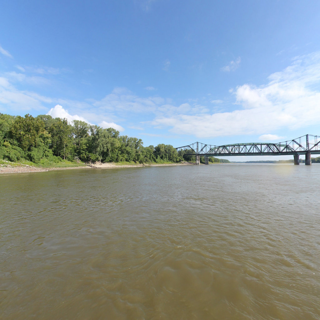
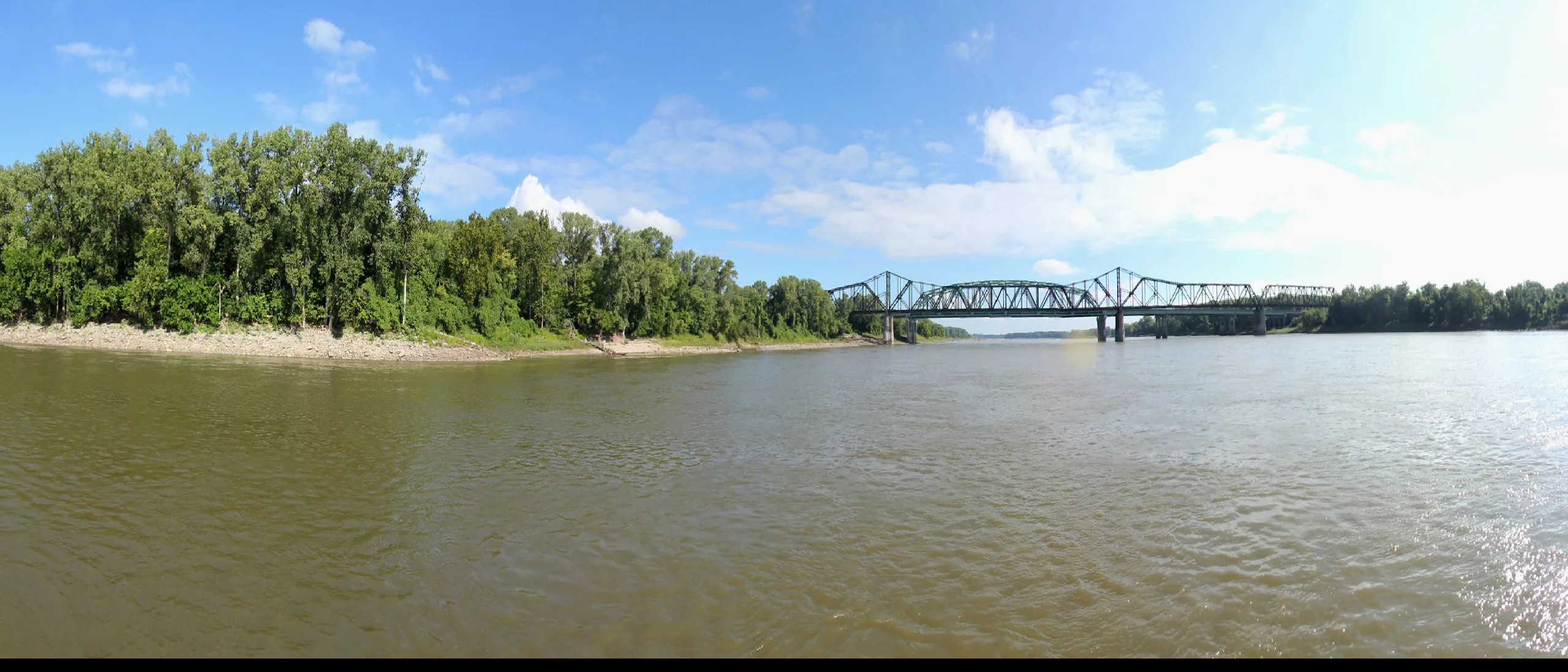
  • Multiple bridge crossings with turbulence
  • Confluence with Mississippi has complex currents
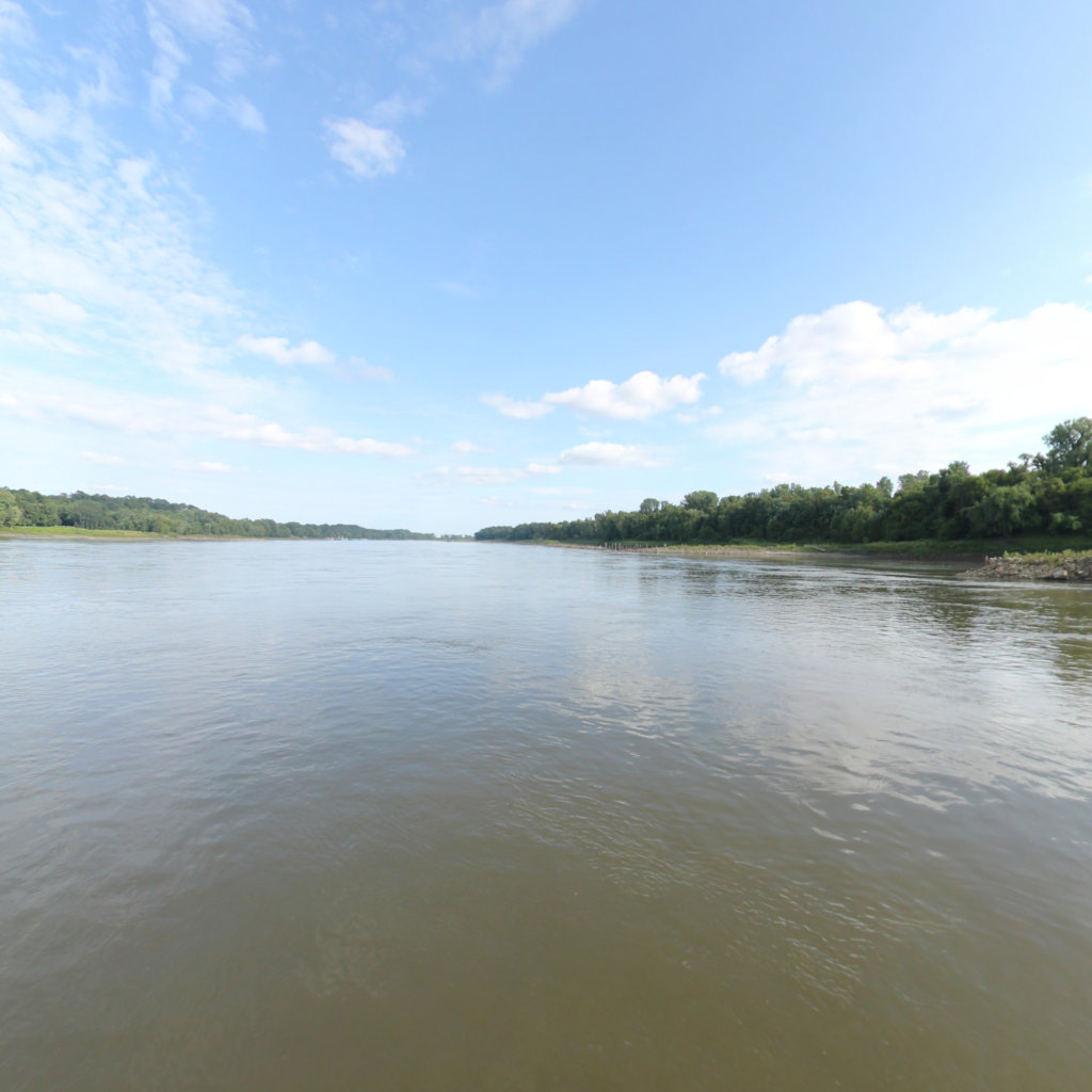
360° scene 360° · RM 87 360° scene 360° · RM 27
Scenes from this stretch and its neighbors. Coverage map →
In 360°

Float this reach in 360°.

Terrain360 has captured roughly two-thirds of the mainstem in full 360° imagery. Tap any card to float that stretch in the viewer.