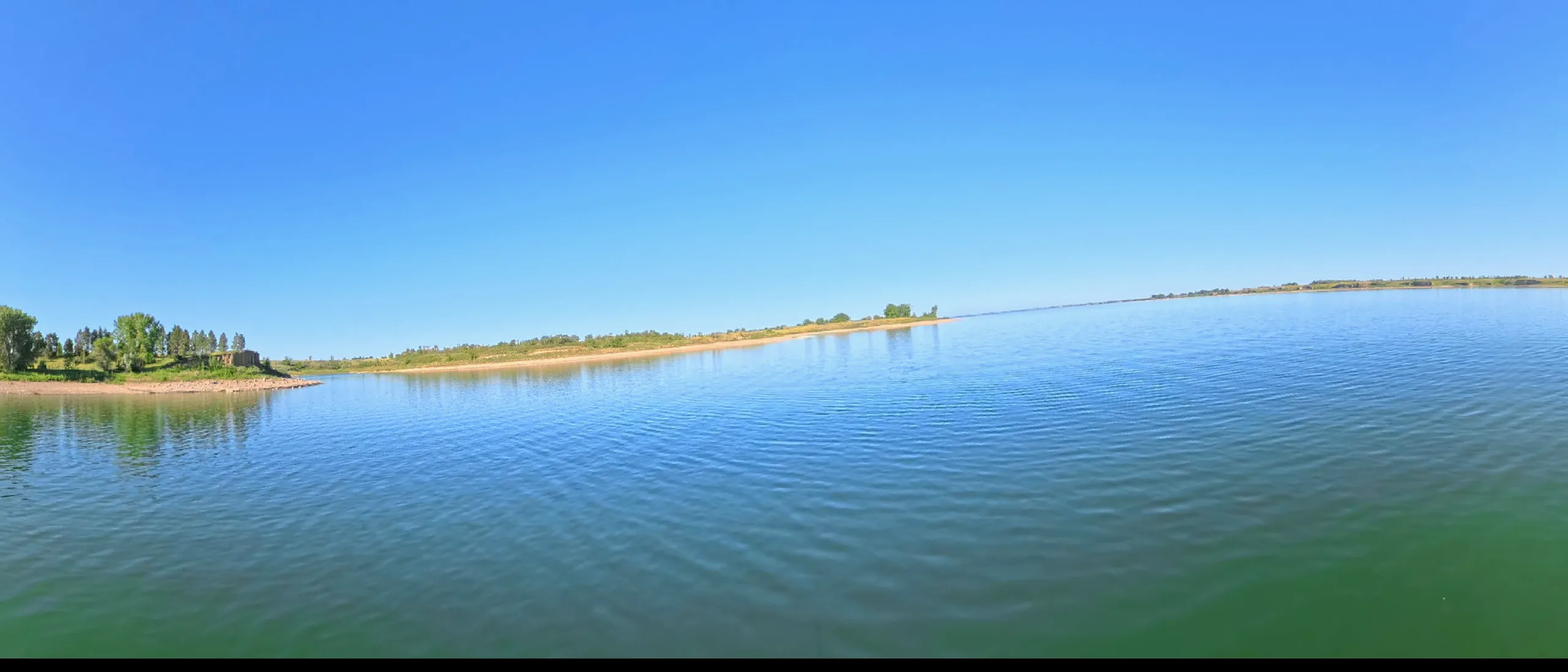
The smallest and busiest of the six — 25 miles of bright water above Gavins Point Dam, filling fast with the sediment the river can no longer carry away.
This lake IS mapped — marine-chart apps carry contours today. We're sourcing an open layer for all six pools (USACE Omaha surveys · state wildlife agencies · USGS ScienceBase). Depths will render against today's pool, not the full-pool number printed on fishing maps.
Gavins Point Dam closed in 1955 to re-regulate the releases of the giants upstream, and its modest pool flooded the Missouri's braided channel between the chalkstone bluffs the expedition described in late August 1804 — Calumet Bluff, where Lewis and Clark held their first council with the Yankton Sioux.
The lake is now the river's sediment story told in fast-forward: the delta at its head grows every year as the Missouri drops its load, and engineers openly debate the reservoir's endgame. For paddlers the delta is the draw — a returning, accidental wilderness of willow islands and shifting channels immediately upstream of the last dam on the river.