Garrison Tailwater to Bismarck
The Reservoirs · Reach 1 of 2 · RM 1,392–1,296

Garrison Tailwater to Bismarck

75 miles of free-flowing Missouri River below Garrison Dam through central North Dakota to Bismarck. 2–4 mph typical current.

The river today
 
7-day trend · prime window runs 15,000–30,000 CFS
Quick float Estimate Full planner with wind, camps & day-by-day →
Mile by mile

Garrison Dam Tailrace → Bismarck / Fort Abraham Lincoln.

Open this reach on the map →
MileUSACE RMSiteTypeNotes
1.21,390Garrison DamDAM
12.11,379Knife River Indian Villages NHSHISTORY
12.51,379Amahami - Hidatsa Village SiteLEWIS
34.01,358Washburn LandingACCESSND
34.11,357Washburn, NDTOWN
74.11,317Bismarck / Fox Island Boat RampACCESSND
74.91,317Bismarck-MandanTOWN
75.81,316First Grizzly Bear Encounter - Heart RiverLEWIS
78.31,313Fort Abraham Lincoln State ParkHISTORY
1,315.076Fort Abraham LincolnRAMP
1,320.072Bismarck / Sanger Boat RampRAMP
1,340.052Cross Ranch State ParkRAMP
1,355.036WashburnRAMP
1,370.022StantonRAMP
1,390.02Garrison Dam TailraceRAMP
Know before you go

Permits & the float window.

Best season is June - September, peaking July - August. Plan 3-5 days for the full 75 miles at 15-25 miles a day.

  • Cold water from dam releases even in summer
  • Dam release fluctuations - check daily schedule
  • Wind exposure
  • Occasional powerboat traffic near Bismarck
  • Wing dams and rock structures near Bismarck
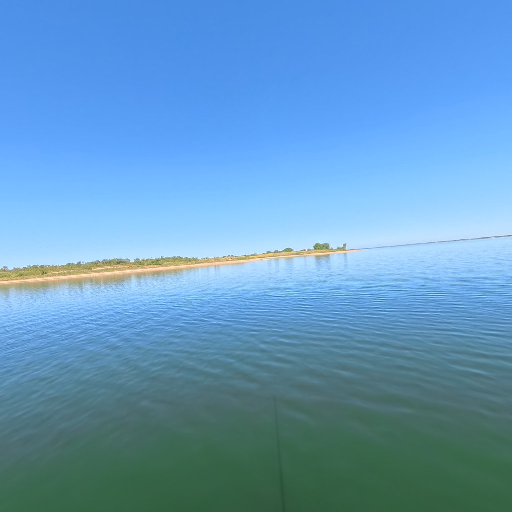
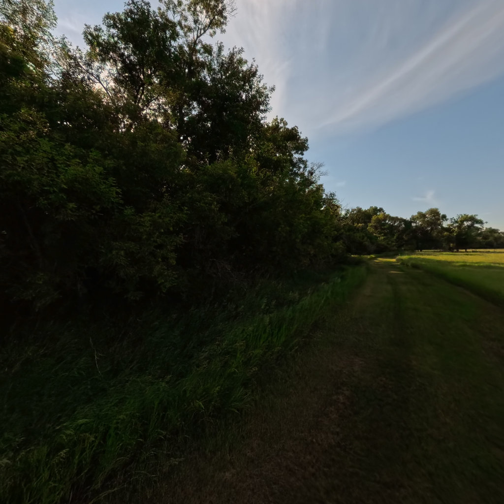
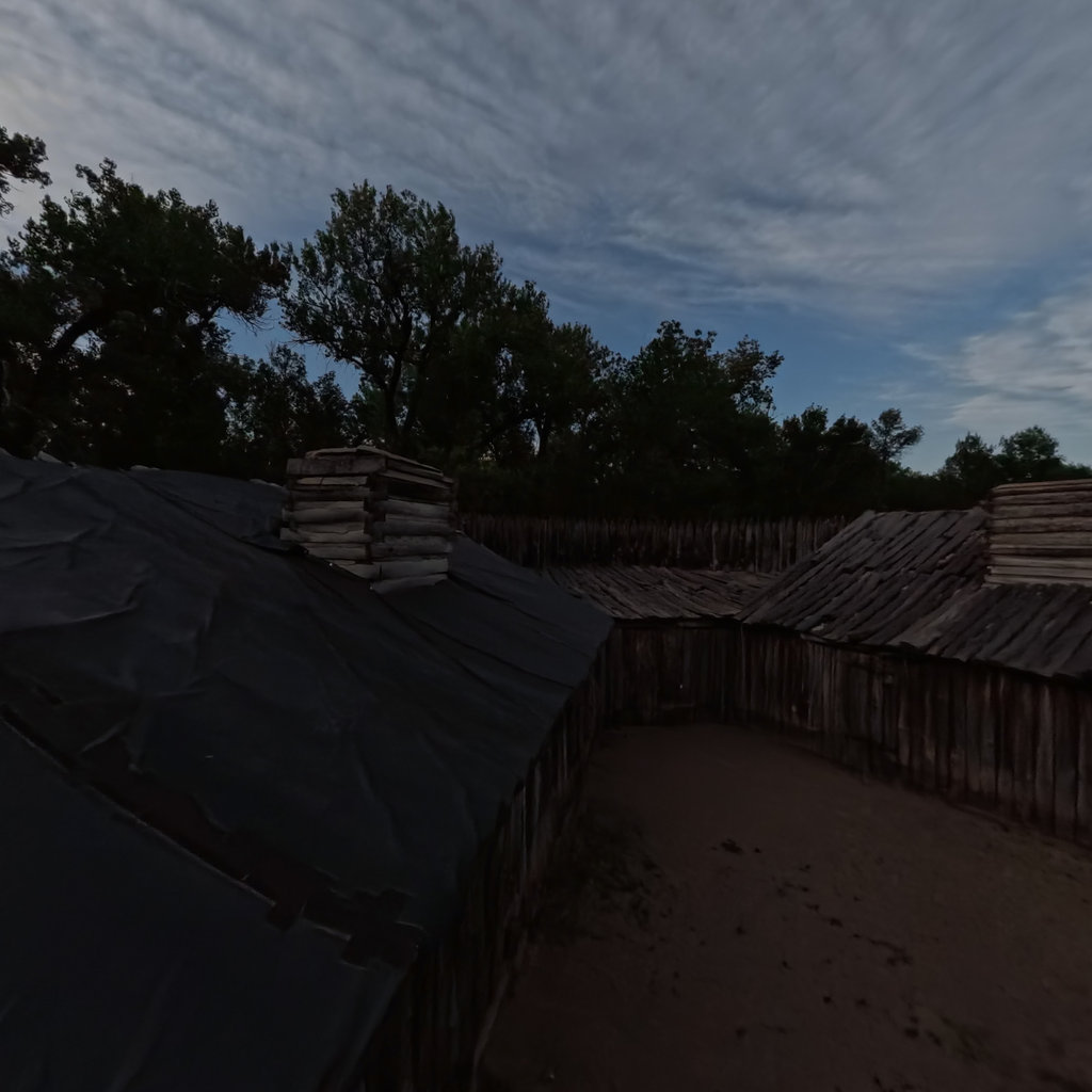
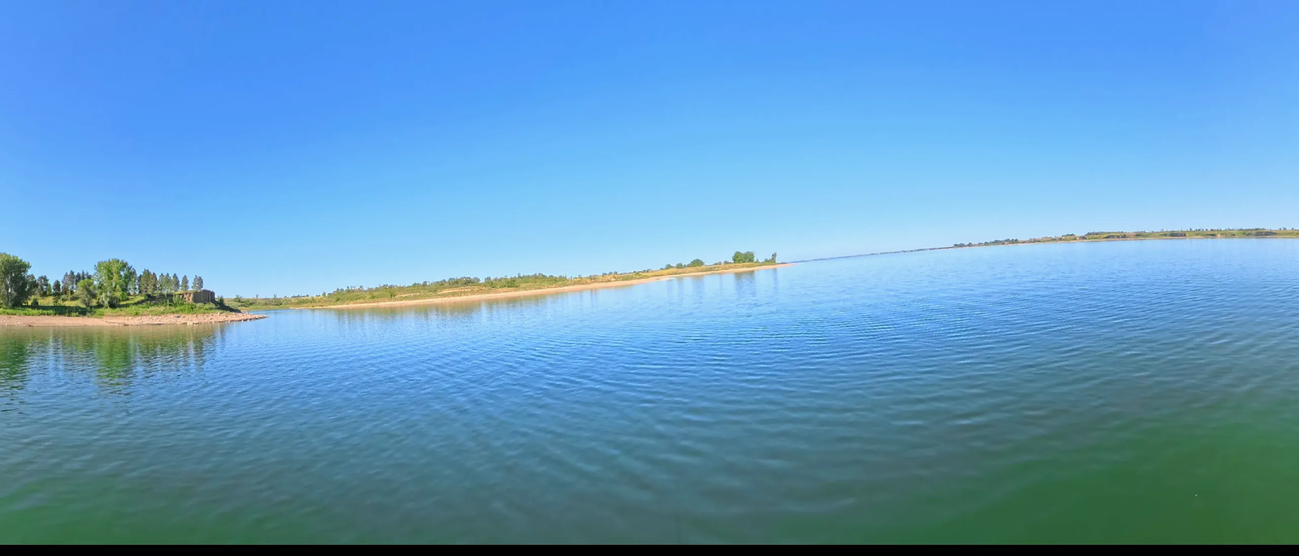
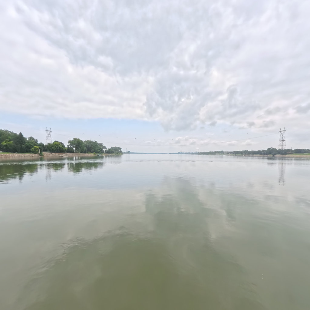
360° scene 360° · RM 1,324 360° scene 360° · RM 1,394
Scenes from this stretch and its neighbors. Coverage map →
In 360°

Float this reach in 360°.

Terrain360 has captured roughly two-thirds of the mainstem in full 360° imagery. Tap any card to float that stretch in the viewer.